
Using Physical Maps


Using Physical Maps
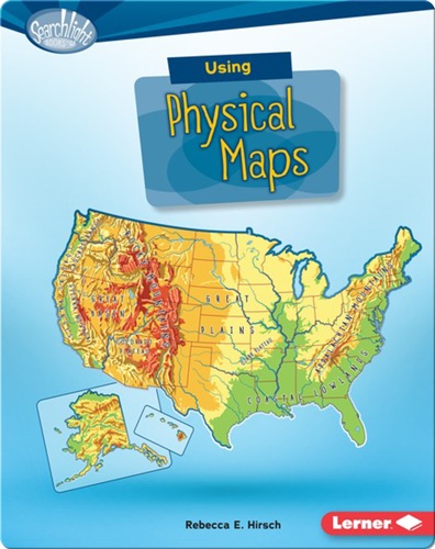
Have you ever wondered which country has the most lakes? Or where the highest point in your state is? Physical maps show landscape features.
About This Book
By: Rebecca E. Hirsch
Illustrated by:
Published by: Lerner Publications an imprint of Lerner Publishing Group
8-11Age Range
4.8AR
38Pages
Learning ConceptsSubject
810LLexile
30-45 minsReading Time
RGuided Reading
RFountas & Pinnell
40DRA