
CHAPTER 1 Introduction Iraq lies at the very heart of the Middle East like a triangular-shaped wedge between the countries of Saudi Arabia Syria and Iran It also shares much shorter borders with Kuwait to the southeast Jordan to the west and Turkey in the north Today’s Iraq was once known as the ancient land of Mesopotamia or land between the rivers of the Tigris and Euphrates The land’s fertile soils made it a natural site for some of the world’s earliest civilizations Sumerians PHYSICAL GEOGRAPHY Area total 170,458 sq mi 437,072 sq km land 168,543 sq mi 432,162 sq km water 1,915 sq mi 4,910 sq km Highest point unnamed peak 11,844 ft 3,611 m local Kurdish name Cheekha Dar or black tent Lowest point Persian Gulf 0 ft 0 m Land boundaries total 2,263 mi 3,650 km border countries Iran 904 mi 1,458 km Jordan 112 mi 181 km Kuwait 149 mi 240 km Saudi Arabia 505 mi 814 km Syria 375 mi 605 km Turkey 218 mi 352 km Coastline 36 mi 58 km Source CIA World Factbook Akkadians Babylonians and Assyrians Underneath its soil lies Iraq’s richest resource oil Iraq now has the world’s third-largest proven conventional crude oil reserves Lowlands deserts and mountains Situated in central and southeastern Iraq the broad floodplains of the Tigris-Euphrates basin Many ancient cities grew up along the banks of the Euphrates River At nearly 1,736 mi 2,800 km long the river runs from Turkey to the Persian Gulf Much of its central section like here in Khan al-Baghdadi in the province of al-Anbar is lined with date palm groves
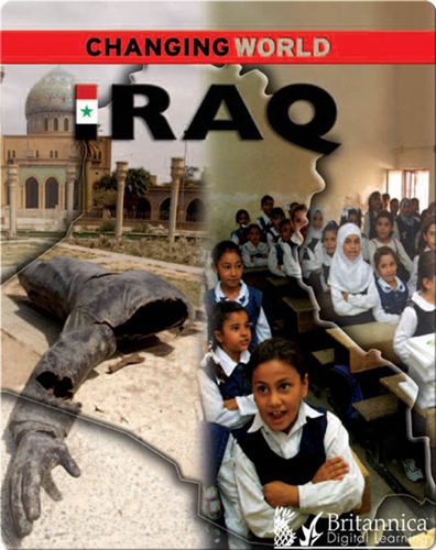
Iraq
Iraq, once called Mesopotamia, is known as the "cradle of civilization," the location of the world’s first cities and empires.
About This Book
By: Geoff Barker
Illustrated by:
Published by: Arcturus Publishing provided by Britannica